Latitude and longitude of Shelter Island, San Diego
Satellite map of Shelter Island, San Diego
Shelter Island is a neighborhood of Point Loma in San Diego, California. It is actually not an island but is connected to the mainland by a narrow strip of land. It was originally a sandbank in San Diego Bay, visible only at low tide.
Latitude: 32° 42' 31.19" N
Longitude: -117° 13' 20.40" W
Nearest city to this article: San Diego
Read about Shelter Island, San Diego in the Wikipedia Satellite map of Shelter Island, San Diego in Google Maps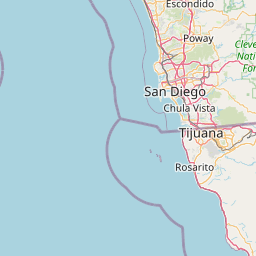


Leaflet | © OpenStreetMap contributors