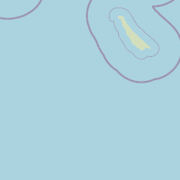
Latitude and longitude of Agua Hedionda Lagoon
- Nearby Camp Pendleton South, United States
Satellite map of Agua Hedionda Lagoon
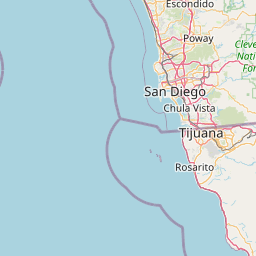
The Agua Hedionda Lagoon ("agua hedionda" means "pestilent water" in Spanish) is a lagoon in Carlsbad, California, that is fed by the Agua Hedionda Creek. Stewardship of much of the lagoon is held by the Encina Power Station and its owner NRG Energy.
Latitude: 33° 08' 19.80" N
Longitude: -117° 19' 23.40" W
Nearest city to this article: Carlsbad, California
Read about Agua Hedionda Lagoon in the Wikipedia Satellite map of Agua Hedionda Lagoon in Google Maps


Leaflet | © OpenStreetMap contributors