Latitude and longitude of Whatcom Transportation Authority
- Nearby Bellingham, United States
Satellite map of Whatcom Transportation Authority
Whatcom Transportation Authority (WTA) provides public transportation services throughout Whatcom County in Northwest Washington State.
Latitude: 48° 47' 7.49" N
Longitude: -122° 26' 33.59" W
Nearest city to this article: Marietta-Alderwood
Read about Whatcom Transportation Authority in the Wikipedia Satellite map of Whatcom Transportation Authority in Google Maps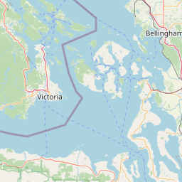

Leaflet | © OpenStreetMap contributors