Latitude and longitude of St. Charles East High School
- Nearby Saint Charles, Illinois, United States
Satellite map of St. Charles East High School
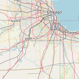
St. Charles East High School is a public four-year high school located in St. Charles, Illinois, a western suburb of Chicago, Illinois, in the United States. It is part of Community Unit School District 303. The school was known as "St. Charles High School" from its opening in 1977 until fall of 2000 when a second school in the city, Saint Charles North High School, was opened. At that time the school name changed to "St.
Latitude: 41° 55' 45.74" N
Longitude: -88° 16' 53.28" W
Nearest city to this article: Saint Charles, Illinois
Read about St. Charles East High School in the Wikipedia Satellite map of St. Charles East High School in Google Maps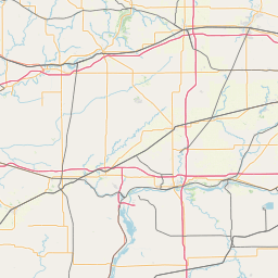


Leaflet | © OpenStreetMap contributors