Latitude and longitude of Bay Path Regional Vocational Technical High School
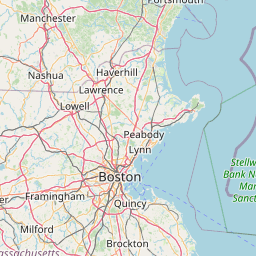
Satellite map of Bay Path Regional Vocational Technical High School
Bay Path Regional Vocational Technical High School is a secondary school located in Charlton, Massachusetts and sits on top of Old Mugget Hill. The school serves about 1100 students grades 9 to 12 and some Post-Grad students as well.
Latitude: 42° 08' 1.20" N
Longitude: -71° 57' 16.19" W
Nearest city to this article: Charlton, Massachusetts
Read about Bay Path Regional Vocational Technical High School in the Wikipedia Satellite map of Bay Path Regional Vocational Technical High School in Google Maps


Leaflet | © OpenStreetMap contributors