Latitude and longitude of Mokelumne Hill, California
- Nearby San Andreas, California, United States
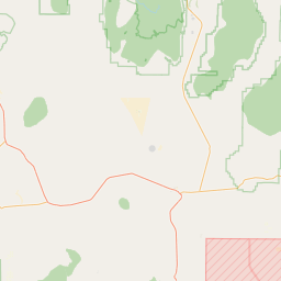
Satellite map of Mokelumne Hill, California
Mokelumne Hill (also, Big Bar, Mok Hill, and The Hill) is a census-designated place (CDP) in Calaveras County, California, United States. The population was 646 at the 2010 census, down from 774 at the 2000 census. It is commonly referred to as "Moke Hill" by locals.
Latitude: 38° 18' 1.20" N
Longitude: -120° 42' 13.79" W
Nearest city to this article: Jackson, California
Read about Mokelumne Hill, California in the Wikipedia Satellite map of Mokelumne Hill, California in Google Maps


Leaflet | © OpenStreetMap contributors