Latitude and longitude of St. Mary's City, Maryland
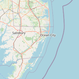
Satellite map of St. Mary's City, Maryland
St. Mary's City, Maryland is a former colonial town and was Maryland's first colonial settlement and capital. It is now a large, state-run historic area, reconstruction of the original colonial settlement, living history area and museum complex, also known as Historic St.
Latitude: 38° 11' 12.60" N
Longitude: -76° 25' 33.59" W
Nearest city to this article: Lexington Park
Read about St. Mary's City, Maryland in the Wikipedia Satellite map of St. Mary's City, Maryland in Google Maps


Leaflet | © OpenStreetMap contributors