Latitude and longitude of Pease Air National Guard Base
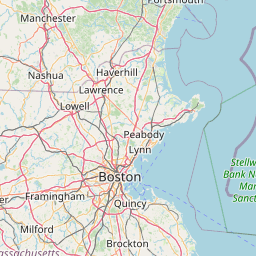
- Nearby Amesbury, Massachusetts, United States
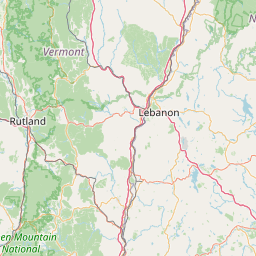
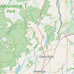
Satellite map of Pease Air National Guard Base
Pease Air National Guard Base is a New Hampshire Air National Guard base located at Portsmouth International Airport at Pease in New Hampshire. It occupies a portion of what was once Pease Air Force Base, which was closed in 1991 and was under the control of the United States Air Force's Strategic Air Command.
Latitude: 43° 04' 24.60" N
Longitude: -70° 49' 14.39" W
Nearest city to this article: Portsmouth, New Hampshire
Read about Pease Air National Guard Base in the Wikipedia Satellite map of Pease Air National Guard Base in Google Maps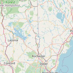


Leaflet | © OpenStreetMap contributors