Latitude and longitude of Shelby County High School (Alabama)
- Nearby Alabaster, Alabama, United States
Satellite map of Shelby County High School (Alabama)
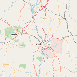
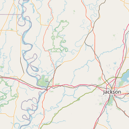
Shelby County High School is a secondary school located in the city of Columbiana in the U.S. state of Alabama.
Latitude: 33° 10' 45.85" N
Longitude: -86° 36' 0.08" W
Nearest city to this article: Columbiana, Alabama
Read about Shelby County High School (Alabama) in the Wikipedia Satellite map of Shelby County High School (Alabama) in Google Maps


Leaflet | © OpenStreetMap contributors