Latitude and longitude of Epcot Center Ultralight Flightpark
- Nearby Hunters Creek, Florida, United States
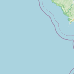
Satellite map of Epcot Center Ultralight Flightpark
Epcot Center Ultralight Flightpark (FAA LID: 44FD) was a private-use ultralight airport located in Osceola County, 13 nautical miles (24 km) northwest of the central business district of Lake Buena Vista, Florida, United States.
Latitude: 28° 21' 6.59" N
Longitude: -81° 32' 29.39" W
Nearest city to this article: Celebration, Florida
Read about Epcot Center Ultralight Flightpark in the Wikipedia Satellite map of Epcot Center Ultralight Flightpark in Google Maps


Leaflet | © OpenStreetMap contributors