Latitude and longitude of Copper Breaks State Park
- Nearby Quanah, Texas, United States
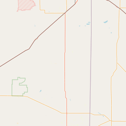
Satellite map of Copper Breaks State Park
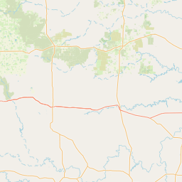
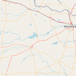
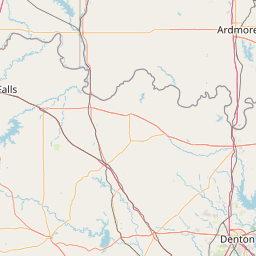
Copper Breaks State Park is a state park in Hardeman County, located approximately 12 miles (19 km) south of Quanah, the county seat.
Latitude: 34° 06' 24.60" N
Longitude: -99° 45' 5.39" W

Leaflet | © OpenStreetMap contributors