Latitude and longitude of Wichita Dwight D. Eisenhower National Airport
- Nearby Wichita, Kansas, United States
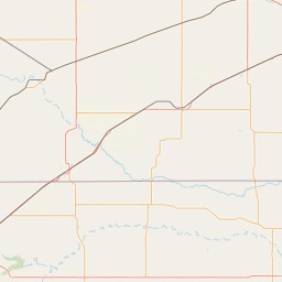
Satellite map of Wichita Dwight D. Eisenhower National Airport
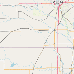
Wichita Dwight D. Eisenhower National Airport (IATA: ICT, ICAO: KICT) is about 7 miles (11 km) west of downtown Wichita, Kansas.
Latitude: 37° 38' 35.87" N
Longitude: -97° 25' 35.39" W
Nearest city to this article: Wichita, Kansas
Read about Wichita Dwight D. Eisenhower National Airport in the Wikipedia Satellite map of Wichita Dwight D. Eisenhower National Airport in Google Maps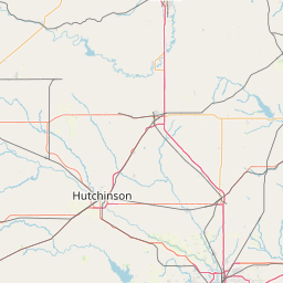

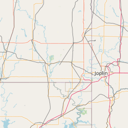
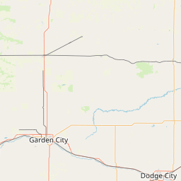


Leaflet | © OpenStreetMap contributors