Latitude and longitude of Greenspoint, Houston
- Nearby Cinco Ranch, United States
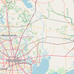
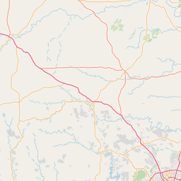
Satellite map of Greenspoint, Houston
The Greater Greenspoint District is an 12-square-mile (31 km2) edge city in northern Harris County, Texas, United States. Portions of the district are in the City of Houston while portions are in unincorporated areas.
Latitude: 29° 56' 29.39" N
Longitude: -95° 24' 13.79" W
Nearest city to this article: Aldine
Read about Greenspoint, Houston in the Wikipedia Satellite map of Greenspoint, Houston in Google Maps

Leaflet | © OpenStreetMap contributors