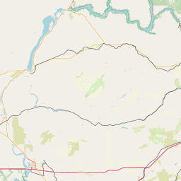
Latitude and longitude of Tumwater, Washington
- Nearby Lacey, Washington, United States
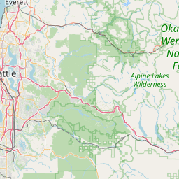
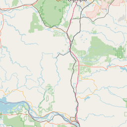
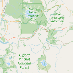
Satellite map of Tumwater, Washington
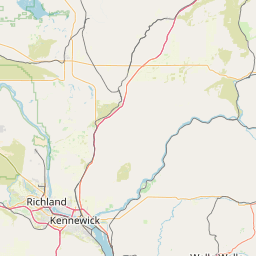
Tumwater /ˈtʌmˌwɑːtrə/ is a city in Thurston County, Washington, United States. It lies near where the Deschutes River enters Budd Inlet, the southernmost point of Puget Sound. The population was 17,371 at the 2010 census.
Latitude: 47° 00' 16.80" N
Longitude: -122° 54' 23.99" W
Nearest city to this article: Tumwater
Read about Tumwater, Washington in the Wikipedia Satellite map of Tumwater, Washington in Google Maps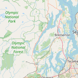


Leaflet | © OpenStreetMap contributors