Latitude and longitude of Richland County, South Carolina
Satellite map of Richland County, South Carolina
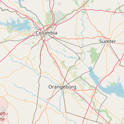
Richland County is a county located in the U.S. state of South Carolina. As of the 2010 census, the population was 384,504, making it the second-most populous county in South Carolina, behind only Greenville County.
Latitude: 34° 01' 48.00" N
Longitude: -80° 54' 36.00" W
Nearest city to this article: Woodfield, South Carolina
Read about Richland County, South Carolina in the Wikipedia Satellite map of Richland County, South Carolina in Google Maps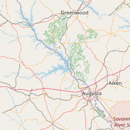


Leaflet | © OpenStreetMap contributors