Latitude and longitude of General Servando Canales International Airport
- Nearby Brownsville, Texas, United States
Satellite map of General Servando Canales International Airport
General Servando Canales International Airport (IATA: MAM, ICAO: MMMA) is an international airport located in Matamoros, Tamaulipas, Mexico, near the U.S.-Mexico border. It handles national and international air traffic for the city of Matamoros.
Latitude: 25° 46' 6.96" N
Longitude: -97° 31' 18.66" W
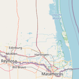

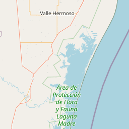

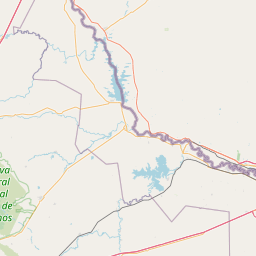

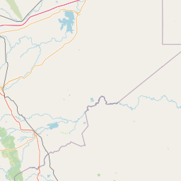


Leaflet | © OpenStreetMap contributors