Latitude and longitude of Fort Maurepas
- Nearby Long Beach, Mississippi, United States
Satellite map of Fort Maurepas
The settlement of Fort Maurepas or Old Biloxi, in colonial French Louisiana (New France), began in April 1699 along the Gulf of Mexico (at present-day Ocean Springs, MS).
Latitude: 30° 24' 11.99" N
Longitude: -88° 49' 26.99" W
Nearest city to this article: Ocean Springs
Read about Fort Maurepas in the Wikipedia Satellite map of Fort Maurepas in Google Maps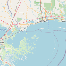


Leaflet | © OpenStreetMap contributors