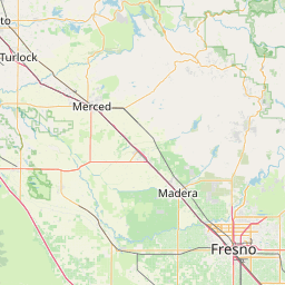
Latitude and longitude of Great Valley Grasslands State Park
- Nearby Livingston, California, United States
Satellite map of Great Valley Grasslands State Park
Great Valley Grasslands State Park is a state park of California, USA, preserving a parcel of remnant native grassland in the San Joaquin Valley. Such a temperate grasslands, savannas, and shrublands biome was once widespread throughout the whole Central Valley. The 2,826-acre (1,144 ha) park was established in 1982. Largely undeveloped, it was formed by combining two former state park units: San Luis Island and Fremont Ford State Recreation Area.
Latitude: 37° 16' 34.80" N
Longitude: -120° 52' 1.19" W
Nearest city to this article: Gustine, California
Read about Great Valley Grasslands State Park in the Wikipedia Satellite map of Great Valley Grasslands State Park in Google Maps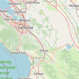


Leaflet | © OpenStreetMap contributors