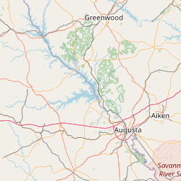
Latitude and longitude of Siege of Ninety-Six
Satellite map of Siege of Ninety-Six
The Siege of Ninety Six was a siege in western South Carolina late in the American Revolutionary War. From May 22 to June 18, 1781, Continental Army Major General Nathanael Greene led 1,000 troops in a siege against the 550 Loyalists in the fortified village of Ninety Six, South Carolina. The 28-day siege centered on an earthen fortification known as Star Fort.
Latitude: 34° 08' 29.40" N
Longitude: -82° 01' 16.80" W


Leaflet | © OpenStreetMap contributors