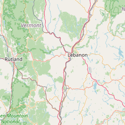
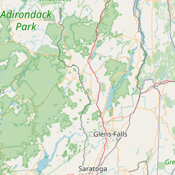
Latitude and longitude of Portsmouth International Airport at Pease
Satellite map of Portsmouth International Airport at Pease
Portsmouth International Airport at Pease (IATA: PSM, ICAO: KPSM, FAA LID: PSM), formerly known as Pease International Airport, is a joint civil and military use airport located one nautical mile (2 km) west of the central business district of Portsmouth, a city in Rockingham County, New Hampshire, United States.
Latitude: 43° 04' 24.60" N
Longitude: -70° 49' 14.39" W
Nearest city to this article: Portsmouth, New Hampshire
Read about Portsmouth International Airport at Pease in the Wikipedia Satellite map of Portsmouth International Airport at Pease in Google Maps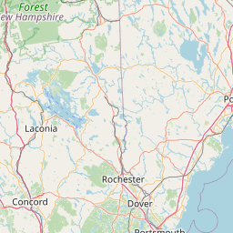


Leaflet | © OpenStreetMap contributors