Latitude and longitude of Peña Blanca Lake
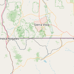
- Nearby Nogales, Arizona, United States
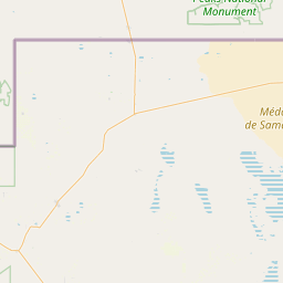
Satellite map of Peña Blanca Lake
Peña Blanca Lake is a reservoir in Arizona, United States, located 18 miles (29 km) northwest of Nogales.
Latitude: 31° 24' 0.59" N
Longitude: -111° 05' 9.60" W
Nearest city to this article: Rio Rico, Arizona
Read about Peña Blanca Lake in the Wikipedia Satellite map of Peña Blanca Lake in Google Maps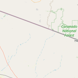

Leaflet | © OpenStreetMap contributors