Latitude and longitude of Naval Station Mayport
- Nearby Ponte Vedra Beach, United States
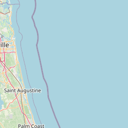
Satellite map of Naval Station Mayport
Naval Station Mayport (IATA: NRB, ICAO: KNRB, FAA LID: NRB) is a major United States Navy base in Jacksonville, Florida. It contains a protected harbor that can accommodate aircraft carrier-size vessels, ship's intermediate maintenance activity (SIMA) and a military airfield (Admiral David L. McDonald Field) with one asphalt paved runway (5/23) measuring 8,001 × 200 ft.
Latitude: 30° 23' 18.59" N
Longitude: -81° 25' 14.99" W
Nearest city to this article: Atlantic Beach, Florida
Read about Naval Station Mayport in the Wikipedia Satellite map of Naval Station Mayport in Google Maps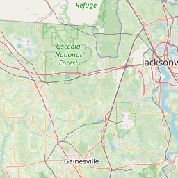


Leaflet | © OpenStreetMap contributors