Latitude and longitude of Sonora, Kentucky
- Nearby Elizabethtown, Kentucky, United States
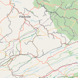
Satellite map of Sonora, Kentucky
Sonora is a city in Hardin County, Kentucky, United States. The population was 350 at the 2000 census.
Latitude: 37° 31' 19.79" N
Longitude: -85° 53' 23.99" W
Nearest city to this article: Hodgenville
Read about Sonora, Kentucky in the Wikipedia Satellite map of Sonora, Kentucky in Google Maps


Leaflet | © OpenStreetMap contributors