Latitude and longitude of Seneca Army Depot
- Nearby Canandaigua, New York, United States
Satellite map of Seneca Army Depot
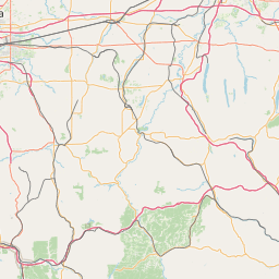
The former Seneca Army Depot occupied 10,587 acres (43 km²) between Seneca Lake and Cayuga Lake in Seneca County, New York. It was used as a munitions storage and disposal facility by the United States Army from 1941 until the 1990s.
Latitude: 42° 45' 15.72" N
Longitude: -76° 51' 57.04" W


Leaflet | © OpenStreetMap contributors