Latitude and longitude of San Antonio River Walk
- Nearby San Antonio, United States
Satellite map of San Antonio River Walk
The San Antonio River Walk (also known as Paseo del Río) is a network of walkways along the banks of the San Antonio River, one story beneath the streets of Downtown San Antonio, Texas, USA.
Latitude: 29° 25' 30.74" N
Longitude: -98° 29' 29.67" W
Nearest city to this article: San Antonio
Read about San Antonio River Walk in the Wikipedia Satellite map of San Antonio River Walk in Google Maps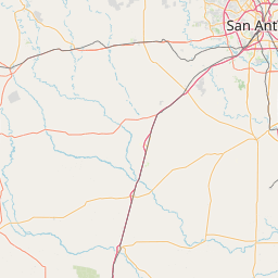

Leaflet | © OpenStreetMap contributors