Latitude and longitude of University of Mary Hardin–Baylor
- Nearby Harker Heights, United States
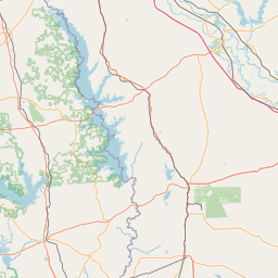
Satellite map of University of Mary Hardin–Baylor
The University of Mary Hardin–Baylor (UMHB) is a Christian co-educational institution of higher learning located in Belton, Texas, United States. UMHB was founded by the Republic of Texas in 1845 as "Baylor Female College," the female department of what is now Baylor University. It has since become its own institution and grown to approximately 2,700 students and awards degrees at the baccalaureate, master's, and doctorate levels.
Latitude: 31° 03' 59.40" N
Longitude: -97° 27' 50.58" W
Nearest city to this article: Belton, Texas
Read about University of Mary Hardin–Baylor in the Wikipedia Satellite map of University of Mary Hardin–Baylor in Google Maps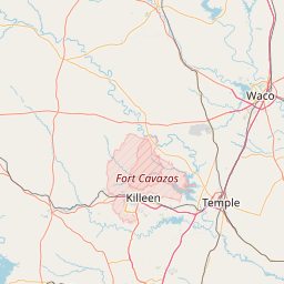

Leaflet | © OpenStreetMap contributors