Latitude and longitude of Wynoochee River
- Nearby Aberdeen, Washington, United States
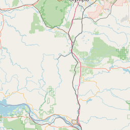
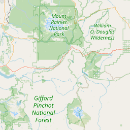
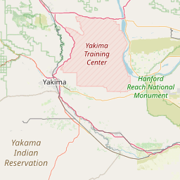
Satellite map of Wynoochee River
The Wynoochee River is a 60-mile (97 km) long river located in the Olympic Peninsula in the U.S. state of Washington. A tributary of the Chehalis River, the Wynoochee River rises in the Olympic Mountains within the Olympic National Park and flows generally south. Its drainage basin is 218 square miles (560 km2) in area.
Latitude: 46° 57' 25.19" N
Longitude: -123° 36' 19.79" W
Nearest city to this article: Montesano
Read about Wynoochee River in the Wikipedia Satellite map of Wynoochee River in Google Maps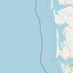


Leaflet | © OpenStreetMap contributors