Latitude and longitude of Republican River
- Nearby Junction City, Kansas, United States
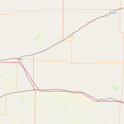
Satellite map of Republican River
The Republican River is a river in the central Great Plains of North America, rising in the High Plains of eastern Colorado and flowing east 453 miles (729 km) through the U.S.
Latitude: 39° 03' 21.60" N
Longitude: -96° 48' 2.99" W
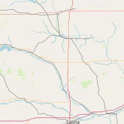
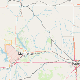
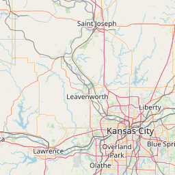


Leaflet | © OpenStreetMap contributors