Latitude and longitude of Helvetia, Arizona
- Nearby Green Valley, Arizona, United States
Satellite map of Helvetia, Arizona
Helvetia is a ghost town in Pima County, Arizona, that was settled in 1891 and abandoned in the early 1920s.
Latitude: 31° 51' 16.79" N
Longitude: -110° 47' 10.19" W
Nearest city to this article: Corona de Tucson
Read about Helvetia, Arizona in the Wikipedia Satellite map of Helvetia, Arizona in Google Maps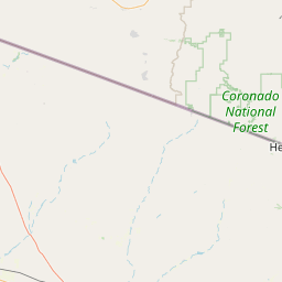
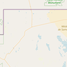

Leaflet | © OpenStreetMap contributors