Latitude and longitude of California State University, Fresno
- Nearby Clovis, California, United States
Satellite map of California State University, Fresno
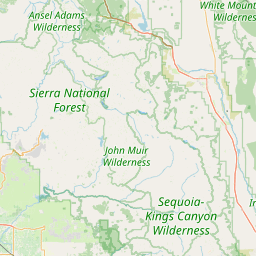
California State University, Fresno (commonly referred to as Fresno State) is a public comprehensive university and one of 23 campuses within the California State University system. It is located at the northeast edge of Fresno, California, approximately 58 miles (93 km) from the entrance to Yosemite National Park, and sits at the foot of the Sierra Nevada mountain range in the San Joaquin Valley. The city of Fresno is the fifth largest city in California.
Latitude: 36° 48' 28.79" N
Longitude: -119° 44' 59.99" W
Nearest city to this article: Clovis, California
Read about California State University, Fresno in the Wikipedia Satellite map of California State University, Fresno in Google Maps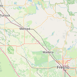

Leaflet | © OpenStreetMap contributors