Latitude and longitude of Baldwyn, Mississippi
- Nearby Booneville, Mississippi, United States
Satellite map of Baldwyn, Mississippi
Baldwyn is a city in Lee and Prentiss counties, Mississippi. Baldwyn is located on Highway 370, due north of Tupelo.
Latitude: 34° 30' 19.19" N
Longitude: -88° 38' 13.19" W
Nearest city to this article: Baldwyn
Read about Baldwyn, Mississippi in the Wikipedia Satellite map of Baldwyn, Mississippi in Google Maps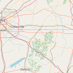


Leaflet | © OpenStreetMap contributors