Latitude and longitude of California's 21st congressional district
- Nearby Exeter, California, United States
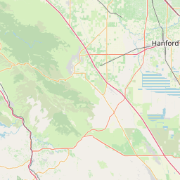
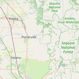
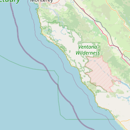
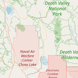
Satellite map of California's 21st congressional district
California's 21st congressional district is a congressional district in the U.S. state of California which is centered in the San Joaquin Valley, and includes areas of Fresno County, Kern County, Kings County, and Tulare County.
Latitude: 36° 30' 0.00" N
Longitude: -119° 00' 0.00" W


Leaflet | © OpenStreetMap contributors