Latitude and longitude of McMicken Island State Park
Satellite map of McMicken Island State Park
McMicken Island State Park is a Washington state park in Mason County. It consists of the 11.5 acres (4.7 ha) of forested McMicken Island in south Puget Sound, including 1,661 feet (506 m) of saltwater shoreline with a sheltered cove. Park activities include hiking, boating, and harvesting shellfish. At low tide, a sand bar connects McMicken Island to Harstine Island.
Latitude: 47° 14' 53.34" N
Longitude: -122° 51' 44.50" W
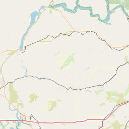

Leaflet | © OpenStreetMap contributors