Latitude and longitude of Clover Creek (Washington)
- Nearby North Yelm, United States
Satellite map of Clover Creek (Washington)
Clover Creek is a creek in Pierce County, Washington.
Latitude: 47° 09' 15.00" N
Longitude: -122° 31' 25.79" W
Nearest city to this article: Lakewood, Washington
Read about Clover Creek (Washington) in the Wikipedia Satellite map of Clover Creek (Washington) in Google Maps
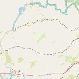

Leaflet | © OpenStreetMap contributors