Latitude and longitude of William F. Walsh Regional Transportation Center
- Nearby Manlius, New York, United States
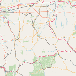
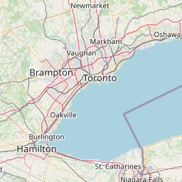
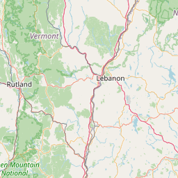
Satellite map of William F. Walsh Regional Transportation Center
The William F. Walsh Regional Transportation Center is the long-distance ground travel (rail and bus) terminal serving the Syracuse, New York area. It is served by Amtrak, Greyhound Lines, Megabus, Neon, and Trailways, and is located in the north of the city.
Latitude: 43° 04' 36.12" N
Longitude: -76° 10' 8.76" W
Nearest city to this article: Galeville
Read about William F. Walsh Regional Transportation Center in the Wikipedia Satellite map of William F. Walsh Regional Transportation Center in Google Maps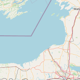


Leaflet | © OpenStreetMap contributors