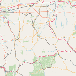
Latitude and longitude of Onondaga Community College
- Nearby Manlius, New York, United States
Satellite map of Onondaga Community College
Onondaga Community College is an accredited two-year educational institution that services Onondaga County, New York, at two campuses.
Latitude: 43° 00' 22.20" N
Longitude: -76° 11' 50.30" W
Nearest city to this article: Westvale
Read about Onondaga Community College in the Wikipedia Satellite map of Onondaga Community College in Google Maps


Leaflet | © OpenStreetMap contributors