Latitude and longitude of Michael Airfield
- Nearby Manlius, New York, United States
Satellite map of Michael Airfield
Michael Airfield (FAA LID: 1G6) is a public airport located on 34 acres just northwest of the central business district of Cicero, New York, United States.
Latitude: 43° 10' 32.40" N
Longitude: -76° 07' 24.00" W
Nearest city to this article: North Syracuse
Read about Michael Airfield in the Wikipedia Satellite map of Michael Airfield in Google Maps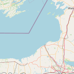

Leaflet | © OpenStreetMap contributors