Latitude and longitude of Hesler-Noble Field
- Nearby Laurel, Mississippi, United States
Satellite map of Hesler-Noble Field
Hesler-Noble Field (IATA: LUL, ICAO: KLUL, FAA LID: LUL) is a public airport in Jones County, Mississippi.
Latitude: 31° 40' 13.79" N
Longitude: -89° 10' 13.20" W
Nearest city to this article: Laurel, Mississippi
Read about Hesler-Noble Field in the Wikipedia Satellite map of Hesler-Noble Field in Google Maps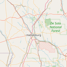


Leaflet | © OpenStreetMap contributors