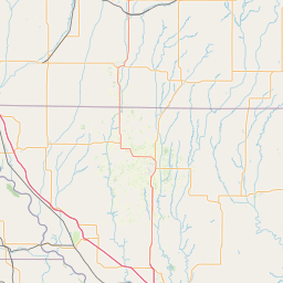
Latitude and longitude of Keokuk Rail Bridge
- Nearby Hamilton, Illinois, United States
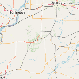
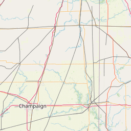
Satellite map of Keokuk Rail Bridge
The Keokuk Bridge, also known as the Keokuk Municipal Bridge, carries a double deck single track railway and highway bridge across the Mississippi River in the USA between Keokuk, Iowa and Hamilton, Illinois, just downstream of Mississippi Lock and Dam number 19. It was designed by Ralph Modjeski and constructed 1915–1916 on the piers of its predecessor that was constructed in 1869–1871.
Latitude: 40° 23' 16.79" N
Longitude: -91° 22' 14.39" W
Nearest city to this article: Keokuk, Iowa
Read about Keokuk Rail Bridge in the Wikipedia Satellite map of Keokuk Rail Bridge in Google Maps

Leaflet | © OpenStreetMap contributors