Latitude and longitude of Niota, Illinois
- Nearby Hamilton, Illinois, United States
Satellite map of Niota, Illinois
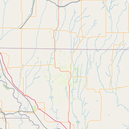
Niota is an unincorporated community in Appanoose Township, Hancock County, in the U.S. state of Illinois. The community is located on the bank of the Mississippi River and is at the eastern end of the Fort Madison Toll Bridge, which connects Niota to Fort Madison, Iowa.
Latitude: 40° 37' 1.79" N
Longitude: -91° 17' 10.20" W
Nearest city to this article: Fort Madison
Read about Niota, Illinois in the Wikipedia Satellite map of Niota, Illinois in Google Maps

Leaflet | © OpenStreetMap contributors