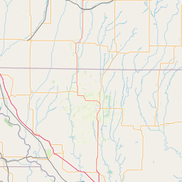
Latitude and longitude of Keokuk–Hamilton Bridge
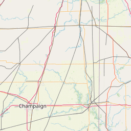
- Nearby Hamilton, Illinois, United States
Satellite map of Keokuk–Hamilton Bridge
The Keokuk-Hamilton bridge is a steel girder, 4-lane bridge from Keokuk, Iowa to Hamilton, Illinois. It carries U.S.
Latitude: 40° 23' 14.99" N
Longitude: -91° 22' 14.39" W
Nearest city to this article: Keokuk, Iowa
Read about Keokuk–Hamilton Bridge in the Wikipedia Satellite map of Keokuk–Hamilton Bridge in Google Maps

Leaflet | © OpenStreetMap contributors