Latitude and longitude of Syracuse Hancock International Airport
- Nearby East Syracuse, United States
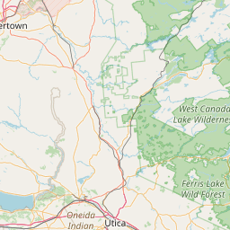
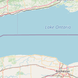
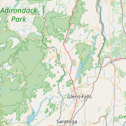
Satellite map of Syracuse Hancock International Airport
Syracuse Hancock International Airport (IATA: SYR, ICAO: KSYR, FAA LID: SYR) is a city owned, joint civil-military airport five miles northeast of downtown Syracuse, in Onondaga County, New York. The airport is off Interstate 81 near Mattydale, New York.
Latitude: 43° 06' 24.00" N
Longitude: -76° 06' 13.80" W
Nearest city to this article: Mattydale, New York
Read about Syracuse Hancock International Airport in the Wikipedia Satellite map of Syracuse Hancock International Airport in Google Maps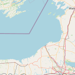


Leaflet | © OpenStreetMap contributors