Latitude and longitude of Chittenango Falls State Park
- Nearby East Syracuse, United States
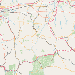
Satellite map of Chittenango Falls State Park
Chittenango Falls State Park is located in Madison County, New York east of Cazenovia Lake. The 167 foot waterfall cascades over roughly 400 million year old bedrock, flowing beneath a wooden bridge spanning the meandering Chittenango Creek.
Latitude: 42° 58' 48.00" N
Longitude: -75° 50' 60.00" W
Nearest city to this article: Cazenovia, New York
Read about Chittenango Falls State Park in the Wikipedia Satellite map of Chittenango Falls State Park in Google Maps


Leaflet | © OpenStreetMap contributors