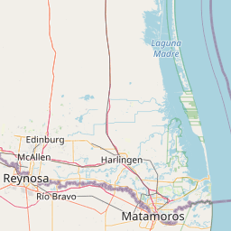
Latitude and longitude of Lower Rio Grande Valley National Wildlife Refuge
- Nearby San Benito, Texas, United States
Satellite map of Lower Rio Grande Valley National Wildlife Refuge
The Lower Rio Grande Valley National Wildlife Refuge is a 90,788-acre (367.41 km2) National Wildlife Refuge located in the Lower Rio Grande Valley region of southern Texas.
Latitude: 26° 11' 8.40" N
Longitude: -97° 51' 3.59" W


Leaflet | © OpenStreetMap contributors