Latitude and longitude of Grand Rapids–Itasca County Airport
- Nearby Cohasset, Minnesota, United States
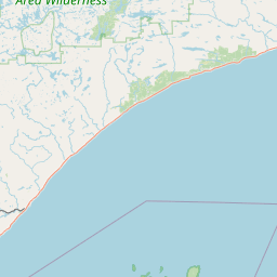
Satellite map of Grand Rapids–Itasca County Airport
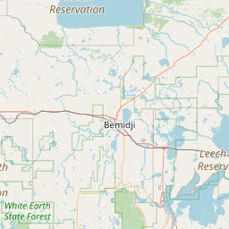
Grand Rapids–Itasca County Airport (IATA: GPZ, ICAO: KGPZ), also known as Gordon Newstrom Field or Gordy Newstrom Field, is a public airport located two miles (3 km) southeast of the central business district (CBD) of Grand Rapids, a city in Itasca County, Minnesota, USA.
Latitude: 47° 12' 24.00" N
Longitude: -93° 30' 20.99" W
Nearest city to this article: Grand Rapids, Minnesota
Read about Grand Rapids–Itasca County Airport in the Wikipedia Satellite map of Grand Rapids–Itasca County Airport in Google Maps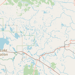

Leaflet | © OpenStreetMap contributors