Latitude and longitude of Grand Rapids, Minnesota
- Nearby Cohasset, Minnesota, United States
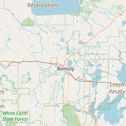
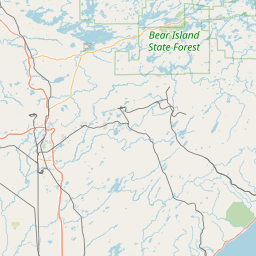
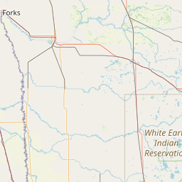
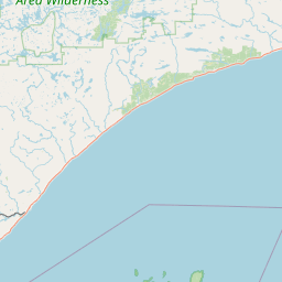
Satellite map of Grand Rapids, Minnesota
Grand Rapids is a city in Itasca County, Minnesota, United States. The population was 10,869 at the 2010 census.
Latitude: 47° 14' 8.40" N
Longitude: -93° 31' 29.39" W
Nearest city to this article: Grand Rapids, Minnesota
Read about Grand Rapids, Minnesota in the Wikipedia Satellite map of Grand Rapids, Minnesota in Google Maps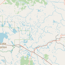

Leaflet | © OpenStreetMap contributors