Latitude and longitude of Murdering Town
- Nearby Zelienople, United States
Satellite map of Murdering Town
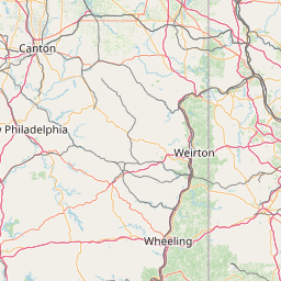
Murdering Town (or Murthering Town) was a Lenni Lenape community that comprised several smaller villages along the Connoquenessing Creek and Breakneck Creek near present-day Harmony, and Evans City, Pennsylvania, United States. The village was located along the Venango Path which ran through what was then the Ohio Country during the French and Indian War.
Latitude: 40° 47' 16.80" N
Longitude: -80° 01' 55.20" W


Leaflet | © OpenStreetMap contributors