Latitude and longitude of Wilson Canyon
- Nearby Yerington, United States
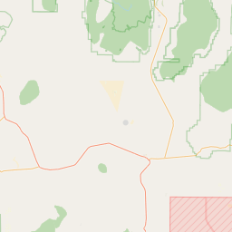
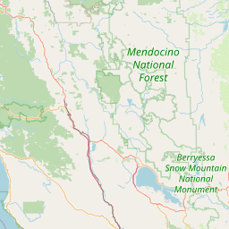
Satellite map of Wilson Canyon
Wilson Canyon is a gorge cut by the Walker River through a series of volcanic cliffs. The canyon is located 13 miles (21 km) west of Yerington, along Nevada State Route 208. It is managed by the U.S. Bureau of Land Management.
Latitude: 38° 49' 5.57" N
Longitude: -119° 12' 10.56" W
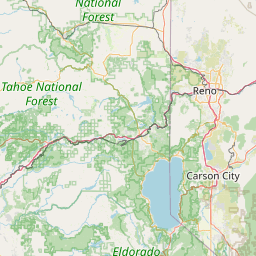
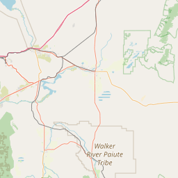


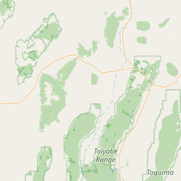


Leaflet | © OpenStreetMap contributors