Latitude and longitude of Agua Caliente Regional Park
- Nearby Oro Valley, United States
Satellite map of Agua Caliente Regional Park
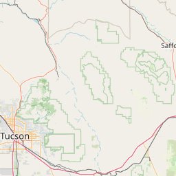
Roy P. Drachman-Agua Caliente Regional Park is a 101 acres (41 ha) regional park in northeastern Tucson, Arizona.
Latitude: 32° 16' 54.45" N
Longitude: -110° 43' 57.48" W
Nearest city to this article: Tanque Verde
Read about Agua Caliente Regional Park in the Wikipedia Satellite map of Agua Caliente Regional Park in Google Maps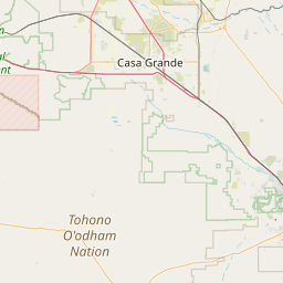

Leaflet | © OpenStreetMap contributors