Latitude and longitude of Cane Bay High School
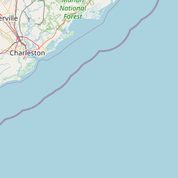
- Nearby North Charleston, United States
Satellite map of Cane Bay High School
Cane Bay High School is a secondary school located in Summerville, South Carolina, United States of America and is the newest addition to the Berkeley County School District. The school opened in August 2008, to 9th and 10th graders, adding a grade each year.
Latitude: 33° 02' 21.94" N
Longitude: -80° 07' 26.91" W
Nearest city to this article: Sangaree, South Carolina
Read about Cane Bay High School in the Wikipedia Satellite map of Cane Bay High School in Google Maps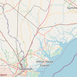


Leaflet | © OpenStreetMap contributors